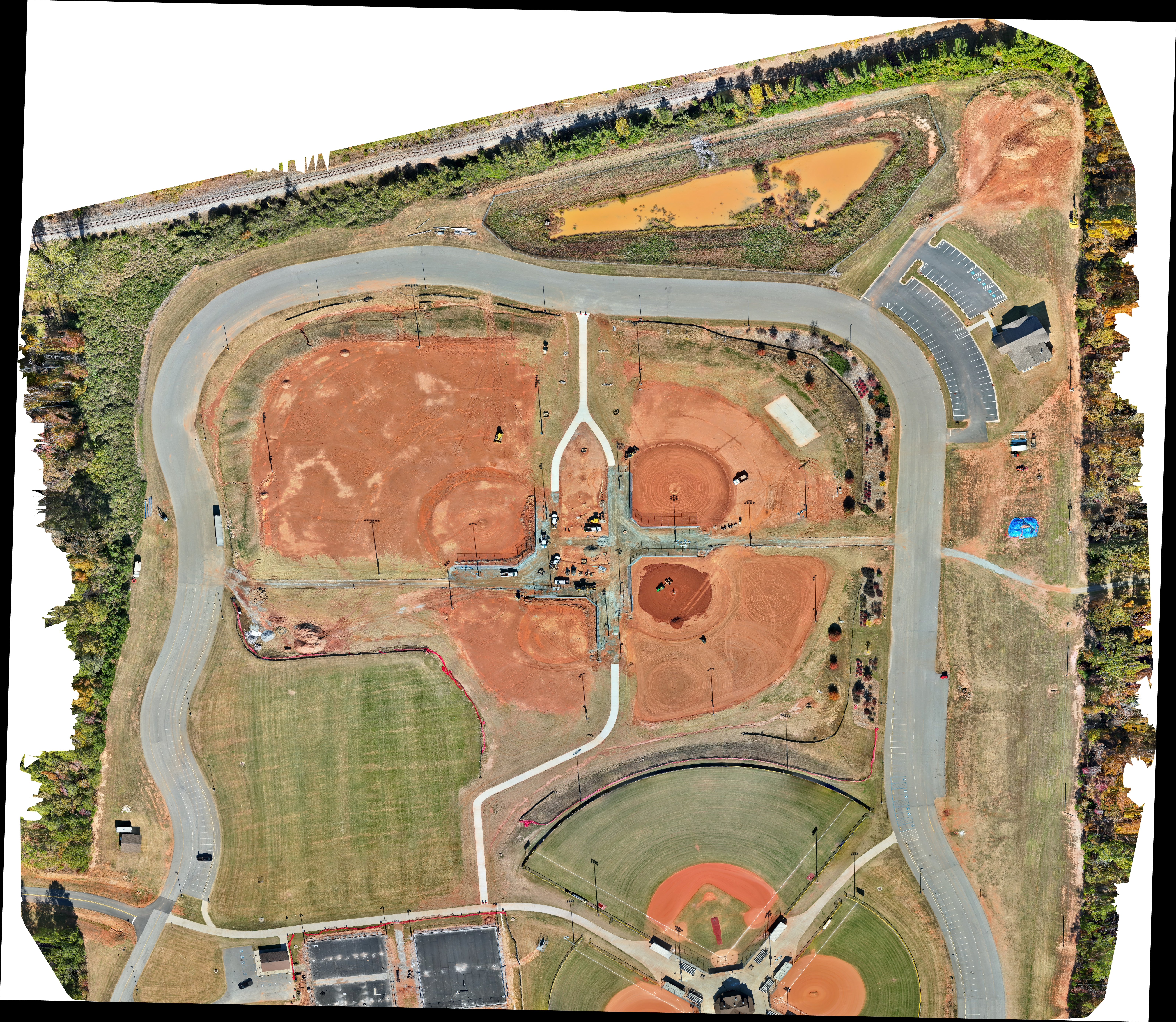
LeRoy Johnson Park - Baseball Field Additions
Complete photogrammetric survey of a 50-acre commercial development site using RTK-corrected drone imagery. Delivered high-resolution orthomosaic maps, digital elevation models (DEM), and 3D point clouds for site planning and earthwork calculations. The project enabled precise cut-and-fill analysis, saving the client significant time and costs in the planning phase.
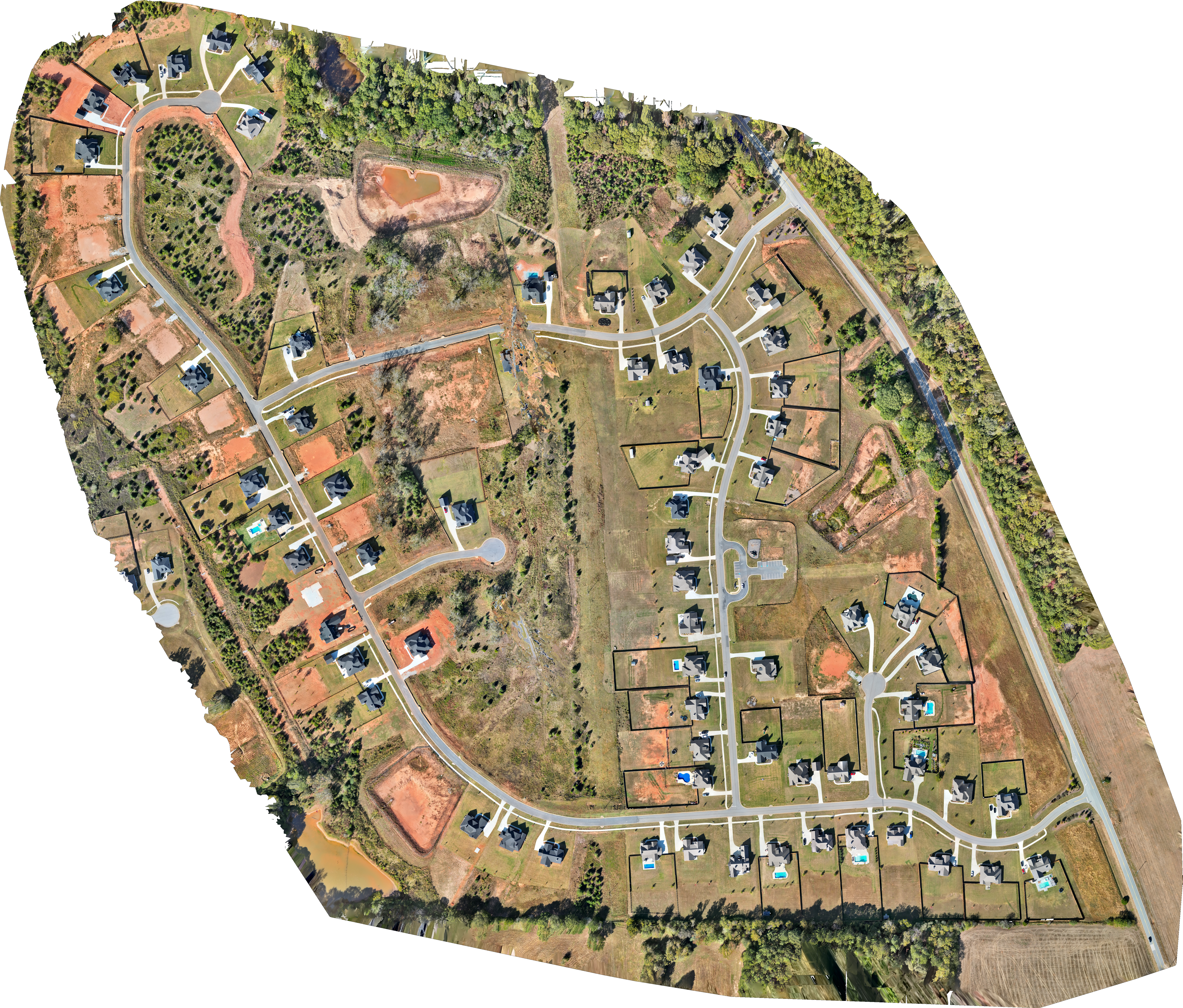
Grove Park Neighborhood - Senoia, GA
Aerial survey of the Grove Park neighborhood building progress during Phase 2. This data is relevant for future planning of infrastructure updates, drainage, and potential risk assessments for energy audits.

3D Mapping with Volumetric Measuring Capability
Comprehensive photogrammetric survey and 3D modeling of a 45-acre baseball field under construction. Aerial survey of active operations for precise stockpile volume measurements and inventory management. Using PPK processing techniques, we achieved survey-grade accuracy for material tracking and operational planning. The deliverables included detailed 3D models, contour maps, and comprehensive volumetric reports that integrated seamlessly with the client's management software.